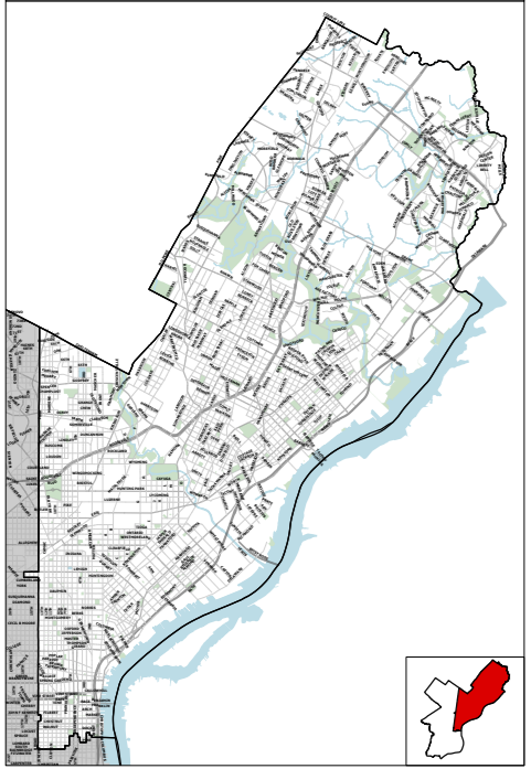
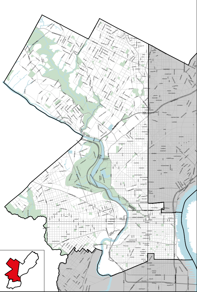
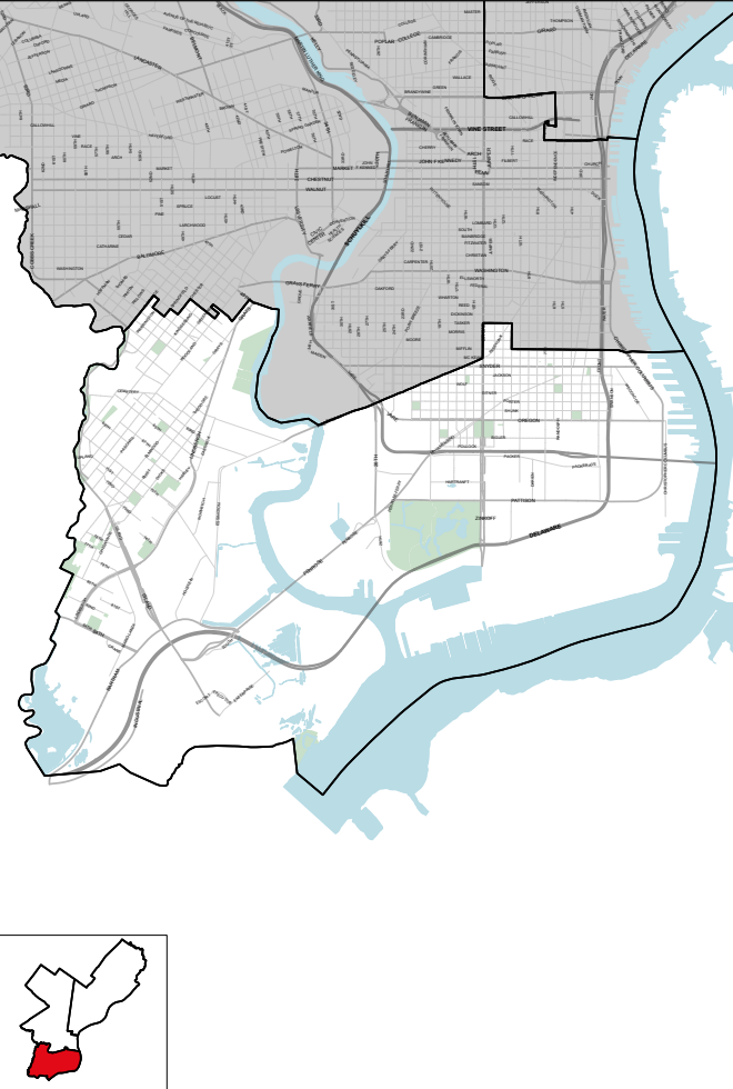
Philadelphia’s 3rd Congressional District covers a majority of West Philadelphia, parts of Center City, Northwest Philadelphia, and parts of South Philadelphia.
Wards and Divisions in District 3: Part of PHILADELPHIA County consisting of the CITY of Philadelphia (PART, Wards 01, 02, 03 [PART, Divisions 01, 02, 03, 04, 05, 06, 07, 08, 09, 10, 11, 12, 13, 14, 15, 16, 17, 18, 19 and 20], 04, 05 [PART, Divisions 04, 18 and 19], 06, 08, 09, 10, 11, 12, 13, 15, 16 [PART, Divisions 01, 02, 03, 04, 06, 07, 08, 09, 10, 11, 12, 13, 14, 15, 16, 17 and 18], 17, 21, 22, 24, 26 [PART, Divisions 08, 10, 11, 12, 16, 17, 19, 21 and 22], 27, 28, 29, 30, 32, 34, 36, 38, 39 [PART, Divisions 01, 03, 04, 05, 06, 07, 08, 09, 10, 11, 12, 15, 16, 18, 19, 20, 21, 22, 23, 25, 26, 27, 28, 30, 31, 32, 34, 35, 37, 38, 40, 42, 43, 45 and 46], 44, 46, 47, 48, 50, 51 [PART, Divisions 01, 02, 03, 04, 05, 06, 07, 08, 09, 10, 11, 12, 13, 14, 15, 16, 17, 18, 19, 20, 22, 23, 26 and 28], 52, 59 and 60).