What’s Your District?
Every Philadelphian belongs to separate city, state, and federal voting districts. The city of Philadelphia is also divided into 66 wards and a total 1,703 voting divisions.
How Are Districts Decided?
Political boundaries are redrawn every 10 years after the federal Census to account for shifts in population. They are essential to fair representation in government.
Congressional Districts
The current U.S. congressional districts were selected from a group of maps by the PA Supreme Court in early 2022. Read an analysis of the map done by Draw the Lines PA, a project of the Committee of Seventy.
State House and Senate Districts
In 2021-2022, PA’s Legislative Reapportionment Commission redrew Pennsylvania’s 50 Senate districts and 203 House districts. These maps took effect for the 2022 legislative elections. The Philadelphia City Commissioners publish citywide maps for Philly’s State Senate and State House districts as well.
City Council Districts
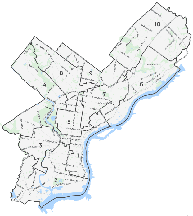
Philadelphia’s City Council districts will be used through 2031. The Council map approved in February 2022 will be used for the 2023, 2027, and 2031 municipal elections, when all 17 Council seats will be on the ballot.

Find Your Voting Districts and Legislators
Use Azavea’s Elected Officials and Districts tool to find your district and who represents you.